



Why Pakistan’s Water Security Must Begin with Its Headwaters and the Communities Who Safeguard Them
Four Lives, One River System
A farmer in Sindh, an irrigation manager in Punjab, a hydropower operator in Azad Jammu and Kashmir and a family beside a glacier-fed stream in Gilgit-Baltistan inhabit different water worlds. Yet they are connected by one river system. A change in snowfall, a sudden glacial flood, a disrupted mountain road or an altered river-flow season may first appear as a local event. Its consequences can travel far beyond the mountains. Pakistan has spent decades debating how the Indus should be shared. But are we paying enough attention to where its waters are formed, how its headwaters are changing, and who must help govern those changes? Pakistan has arrangements for allocating, storing and distributing river water. But have we established an equally coherent responsibility for safeguarding the mountain conditions on which that water depends? Scientific, engineering and disaster-management initiatives exist; the question is whether they form a connected, accountable system. Pakistan has learned to negotiate the distribution of the Indus. It must now become equally capable of governing the conditions that sustain it.
The Geography Before the Allocations
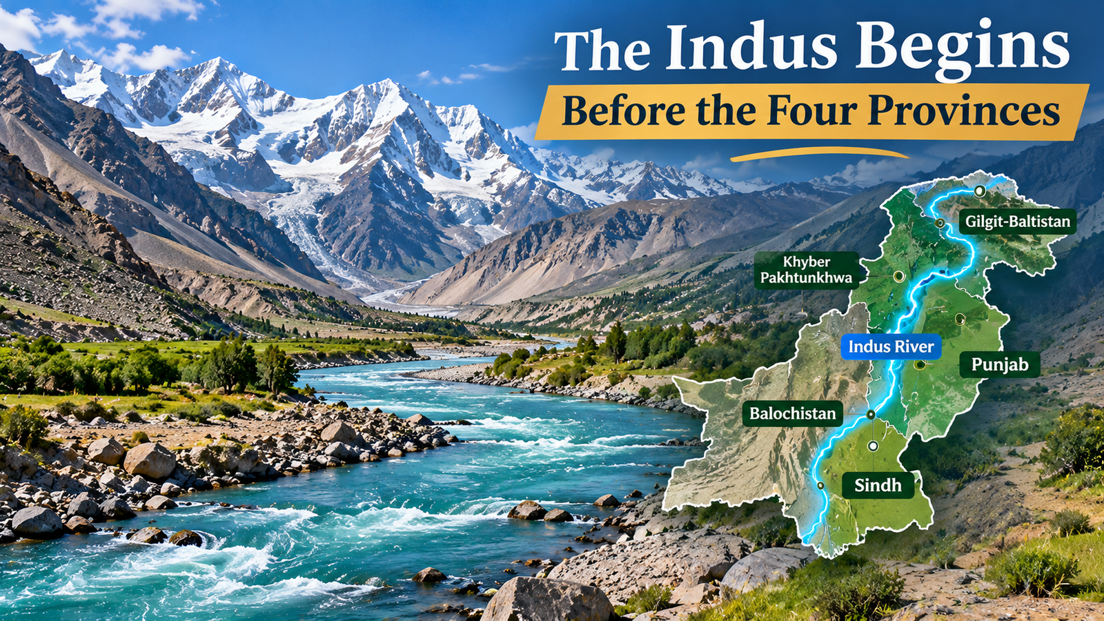
The Indus originates on the Tibetan Plateau, passes through Ladakh and enters Gilgit-Baltistan, where the Shyok, Shigar, Hunza, Gilgit and Astore contribute to the Upper Indus. The Jhelum–Neelum system, associated with Azad Jammu and Kashmir, forms another part of the wider basin. These distinct catchments are not administrative territories. Research examines approximately 170,000 square kilometres of the Upper Indus above Tarbela and 33,455 square kilometres of the Mangla watershed. Hydrological research drawing on 1981–2015 observations at Alam Bridge reports that approximately 26% of the Gilgit River’s annual flow occurs in July and 24% in August: about half the year’s flow in two summer months. This finding concerns the Gilgit River, not the entire Indus. It demonstrates why water security cannot be understood through annual totals alone. Snow, glacier melt and rainfall affect the timing of river flow. A summer surge does not guarantee water when crops need it months later. Water security requires understanding changing flows, not simply annual totals.

The Mountains Are National Infrastructure
Dams, barrages and power stations have budgets and operating responsibilities. But the catchments feeding them also perform vital functions: snow and glaciers release water; forests and soils influence runoff, erosion and sediment; mountain slopes shape risks to settlements and infrastructure. These natural systems cannot be controlled like machinery, yet they affect built infrastructure. If dams are strategic national assets, their supporting mountain systems deserve strategic attention. This does not mean treating mountain communities as custodians without rights. It means recognising that the security of national infrastructure depends partly on landscapes and people far beyond reservoir walls.
Hassanabad: Where National Security Becomes Household Security
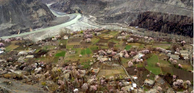
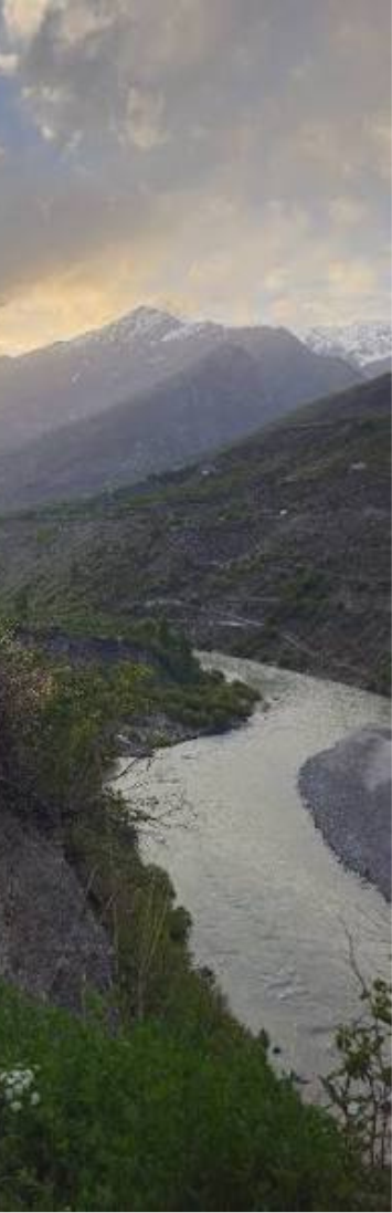
Near Hassanabad in Hunza, the Shisper Glacier illustrates the stakes. Since 2018, glacier surges and lake-outburst flooding have threatened settlements and livelihoods. UNDP’s June 2021 account records residents sheltering in orchards and fields during prolonged flooding. It also describes damaged power and irrigation facilities and difficulties with drinking-water access. Scientific observation and warning initiatives were already being developed; the issue was not an absolute absence of institutional attention. The question is whether observation, warning, evacuation and recovery work together. A household needs more than a satellite image: it needs timely warnings, safe routes and authorities able to act. The measure of climate intelligence is not how much danger we can observe, but how much preventable harm our observations help avert. Protecting mountain communities is not a concession to upstream regions; it is part of national resilience.
AJK: The Water–Energy Security Connection
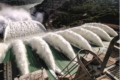
AJK illustrates another dimension. Its Jhelum–Neelum system hosts the nationally significant 969-megawatt Neelum–Jhelum Hydropower Project. Official parliamentary proceedings record that the project shut down on 1 May 2024 following a headrace-tunnel collapse. The available evidence does not establish climate change as the cause. Geological, engineering and construction-related questions require their own technical investigation. The wider lesson concerns infrastructure reliability. Changing flows may affect hydropower, while sediment, unstable slopes, geology and equipment failures create distinct risks.Climate intelligence cannot replace sound engineering, but engineering needs reliable environmental intelligence. Infrastructure planning must integrate hydrology, geology, climate, asset condition and operational continuity.
Diamer-Basha: Who Benefits, Who Bears the Burden?
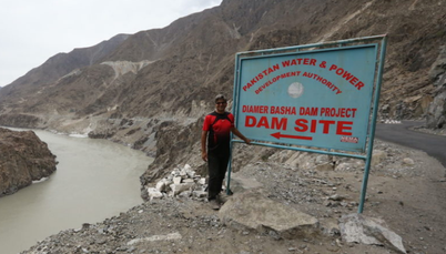
Diamer-Basha is designed for 6.4 million acre-feet of live storage and 4,500 megawatts of generation—planned, not completed capacities. National benefits must be considered alongside local land acquisition, resettlement and livelihoods.
In March 2026, WAPDA reported discussions with federal, GB and KP representatives on resettlement, compensation and local commitments. On 24 March 2026, WAPDA announced Rs 94.23 million to support the continued operation of 75 community-based accelerated-learning schools in Diamer, serving approximately 2,250 out-of-school girls. The initiative deserves recognition. But funding announcements are not the same as verified, sustained educational outcomes. Projects should be judged by compensation delivered, livelihoods restored, functioning services and environmental safeguards—not only megawatts and storage. National benefits cannot be separated from local responsibilities.
Beyond the Four-Province Water Map
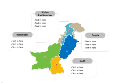
The 1991 Water Apportionment Accord governs allocations among Punjab, Sindh, Khyber Pakhtunkhwa and Balochistan; GB and AJK are not separately listed as provincial recipients. But hydrological and constitutional geography differ. GB and AJK have distinct governance arrangements. Their absence from the allocation table proves neither an absence of relevant responsibilities nor a particular water entitlement. This is not a call to reopen the Accord. It asks whether mountain authorities are adequately connected with downstream forecasting, reservoir, energy and disaster-management institutions.
From Headwater Dependence to Headwater Responsibility
Pakistan should consider a National Headwaters Stewardship Responsibility: a policy principle, not a new constitutional status, water entitlement or necessarily another authority. Existing institutions would be assigned clear duties to observe, safeguard, finance and report on critical headwater functions.
These include glacial lakes, hazardous slopes, sediment, infrastructure, preparedness and usable warnings. Mountain communities must also share in protection and development benefits. Pakistan finances dams and canals. Can it also demonstrate the scale and effectiveness of investment in safeguarding the mountain systems that sustain them?
The Headwaters Security Dividend
Better stewardship may improve flood warnings, seasonal forecasts, infrastructure resilience and local livelihoods. These possible benefits need measurement. We propose the Headwaters Security Dividend as a framework for evaluating benefits upstream and downstream—not a new financial entitlement or a claim of already quantified gains. Relevant measures include warning time, actionable alerts, functioning monitoring equipment, infrastructure continuity and delivery of community commitments. The emphasis should shift from announcements to outcomes.
The Headwaters Security Dividend
Pakistan already has meteorological, hydrological, satellite, engineering and disaster-management capabilities. It need not start from zero. In September 2026, the federal climate minister reported development of a virtual platform intended to integrate glacier, satellite, early-warning and disaster-management information. This is important, but a developed platform is not proof of full operational integration. Who verifies a hazard report, issues a warning, decides on action, protects exposed communities and accounts for the outcome? A connected database is not yet a connected system of responsibility. A Headwaters-to-Delta Climate Intelligence Protocol could link existing institutions within their mandates: OBSERVE → CONNECT → ANTICIPATE → PROTECT → INCLUDE → VERIFY. Observe changing mountain conditions; connect reliable information; anticipate hazards; protect people and infrastructure; include territorial authorities and communities; verify warning performance, service continuity and fulfilled commitments.
The writers can be reached at: khalidsa02@gmail.com, umamakhalid81@gmail.com